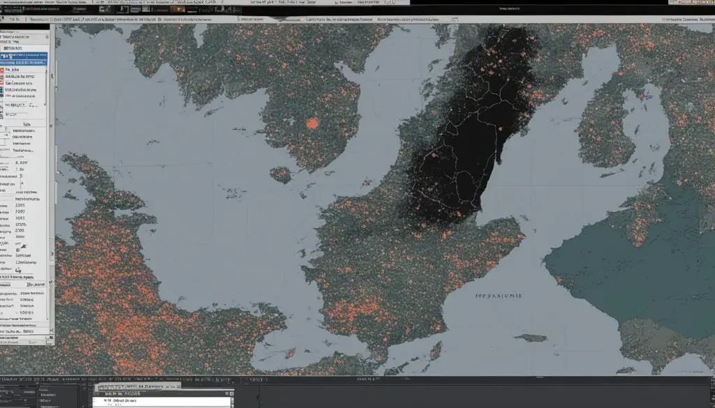
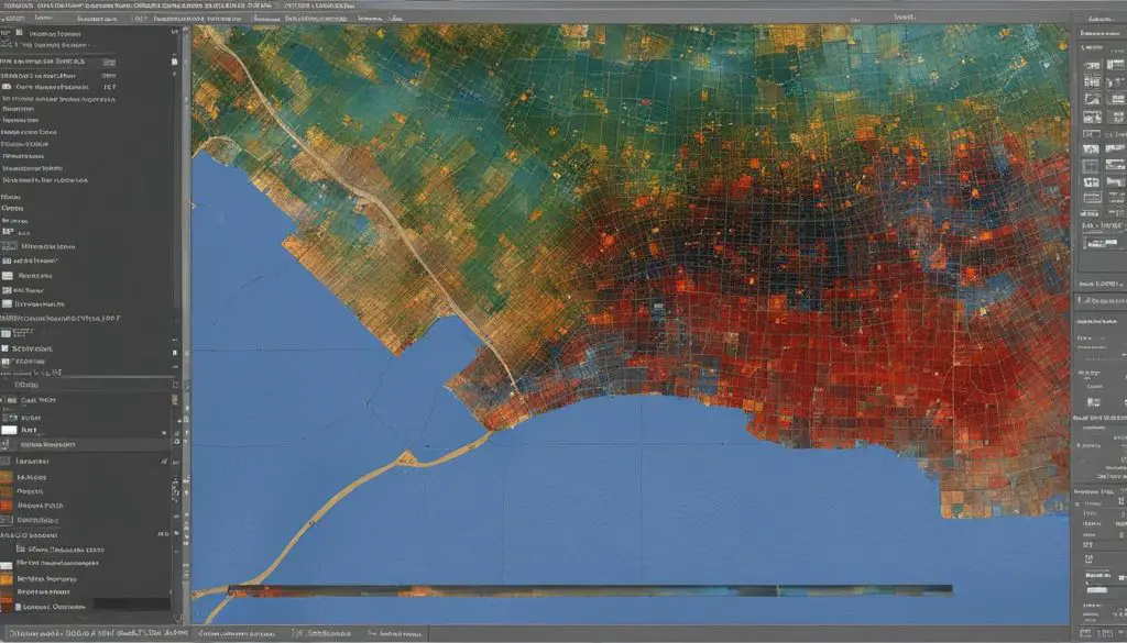
If you’re experiencing issues with your TIFF file appearing black in ArcMap, you’re not alone. This can be a frustrating problem that hinders your ability to work with raster data effectively. Fortunately, there are several solutions and tips that can help you resolve this display issue and get your TIFF files back to normal.
ArcMap, a popular software used for mapping and spatial analysis, relies on various factors for optimal display performance. These factors include drawing speeds, raster pyramids, mosaic dataset overviews, tile size, compression methods, and resampling techniques. By understanding and implementing the right strategies, you can enhance the appearance and speed of your raster data in ArcMap.

Key Takeaways:
- Optimize performance by creating raster pyramids and mosaic dataset overviews.
- Adjust the tile size to improve rendering performance.
- Select the appropriate compression method for your raster datasets.
- Enhance raster data appearance with contrast stretch, gamma correction, brightness, contrast, and transparency adjustments.
- Choose the right resampling technique for your specific raster data type.
Speeding Up Drawing Methods in ArcMap
When working with raster data in ArcMap, optimizing drawing performance is crucial for a faster and more efficient display. There are several techniques you can implement to speed up the drawing methods and optimize the raster display. By following these methods, you can enhance the overall performance and improve the user experience.
Creating Raster Pyramids
One effective method to enhance drawing speed is by creating raster pyramids or overviews. Pyramids are resampled copies of the original raster dataset that successively decrease in resolution. These pyramids allow ArcMap to display large raster datasets more quickly by loading lower resolution versions of the data when zoomed out or when zooming in quickly. Building these pyramids for each raster dataset can significantly enhance the drawing performance.
Mosaic Dataset Overviews
A similar technique to raster pyramids is utilizing mosaic dataset overviews. These overviews are also resampled versions of the data that help in increasing display speed and reducing CPU usage. By creating overviews within your mosaic dataset, you can optimize the display performance and achieve faster drawing speeds.
Adjusting Tile Size
Another factor that can affect drawing performance is the tile size. The tile size determines how the .tiff files and geodatabases are rendered. By adjusting the tile size, you can optimize the rendering performance, resulting in faster display in ArcMap. It is recommended to experiment with different tile sizes to find the optimal configuration for your specific raster data.
Compression Impact
The compression method used for raster datasets can impact the decompression time and consequently the display performance. Compressed raster data may take longer to display compared to uncompressed data due to the additional decompression process. It is important to consider the trade-off between storage space and display performance when choosing the compression method for your raster datasets.
By implementing these techniques, such as creating raster pyramids, utilizing mosaic dataset overviews, adjusting tile size, and considering the impact of compression, you can significantly improve the drawing performance and optimize the display of raster data in ArcMap.
Enhancing Raster Data Appearance in ArcMap
Raster data plays a crucial role in ArcMap, and it is important to ensure that the visual appearance of the data is optimized for analysis and interpretation. In this section, we will explore various techniques to improve the raster data appearance in ArcMap, including contrast stretch, gamma correction, brightness and contrast adjustments, and transparency settings.
Contrast stretch is a powerful tool that can enhance the visual contrast of a raster dataset. It allows you to expand the range of pixel values, resulting in a more vibrant display. ArcMap offers different stretch methods, such as minimum-maximum, percent clip, standard deviation, histogram equalize, custom, and Esri stretch. Each method has its own advantages and can be suitable for different types of data.
To control the overall brightness of a raster dataset, you can use gamma correction. This technique adjusts the degree of contrast between mid-level gray values, allowing you to fine-tune the appearance of the image. By manipulating the gamma value, you can make the image brighter or darker, depending on your requirements.
Adjusting brightness and contrast can greatly enhance the overall appearance of the raster image. These adjustments allow you to fine-tune the lightness and darkness of the image, as well as the difference between the darkest and lightest areas. By striking the right balance between brightness and contrast, you can achieve a visually pleasing and informative display.
In addition to adjusting the visual properties of the raster data, it is also possible to control its transparency. This can be useful when overlaying raster layers on top of other layers, creating a three-dimensional effect. By adjusting the transparency settings, you can control the visibility of the underlying layers and achieve the desired visual impact.
By implementing these techniques, you can enhance the appearance of raster data in ArcMap, making it more visually engaging and informative for analysis and presentation purposes. The next section will delve into the resampling and display techniques in ArcMap, providing further insights into optimizing the display of raster datasets.

Resampling and Display Techniques in ArcMap
Resampling is a crucial technique in ArcMap that allows you to alter how raster datasets are displayed. Different resampling techniques are available, each suitable for specific types of raster data. Understanding these techniques can help you optimize the display of your raster datasets.
One commonly used resampling technique is nearest neighbor resampling. This method is suitable for discrete raster datasets and preserves the original pixel values. Nearest neighbor resampling assigns the value of the nearest pixel to the resampled pixel, resulting in a blocky appearance in the display.
Another technique is bilinear interpolation, which is more suitable for continuous raster data. Bilinear interpolation calculates the value of a resampled pixel by taking a weighted average of the surrounding pixels. This technique produces smoother transitions in the display.
Cubic convolution is another resampling method that is often used for continuous raster data. It calculates the value of a resampled pixel by fitting a smooth curve through the surrounding pixels. This technique can produce more accurate and visually pleasing displays.
Lastly, majority resampling is suitable for discrete raster datasets where the majority of cells in a resampling window represent the majority of the original cells. This technique is often used when resampling categorical raster data.
| Resampling Technique | Suitable for |
|---|---|
| Nearest Neighbor | Discrete raster datasets |
| Bilinear Interpolation | Continuous raster data |
| Cubic Convolution | Continuous raster data |
| Majority Resampling | Discrete raster datasets (categorical data) |
By understanding the characteristics and applications of different resampling techniques, you can effectively control how your raster datasets are displayed in ArcMap.
Conclusion
To resolve the issue of black TIFF files appearing in ArcMap, it is crucial to understand the factors that affect raster display performance. Drawing speeds play a significant role in optimizing display performance, and creating raster pyramids or overviews can greatly enhance the time it takes to display large raster datasets.
Adjusting the tile size and choosing the appropriate compression method can also impact rendering performance. Additionally, applying techniques such as contrast stretch, gamma correction, brightness and contrast adjustments, and transparency settings can enhance the appearance of raster data in ArcMap.
When it comes to resampling raster datasets, different techniques are available depending on the type of data. Nearest neighbor and majority resampling algorithms are suitable for discrete raster datasets, while bilinear interpolation and cubic convolution are better for continuous raster data.
By implementing these tips and techniques, you can effectively troubleshoot and resolve black TIFF file display issues in ArcMap, improving the overall performance and appearance of your raster data.
